
Geographic Information Systems Certificate (Undergraduate)
Degree: Certificate
Major: Geographic Information Systems (Undergraduate)
Hours: 15
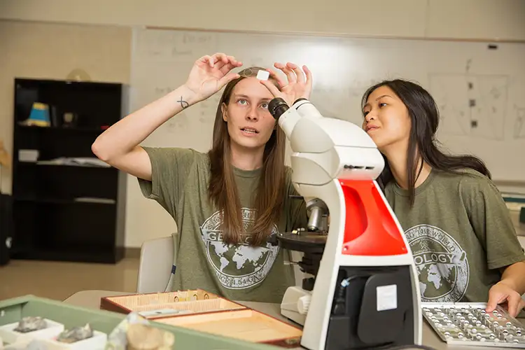
Geographic Information Systems Overview
Learn to make maps that matter by gaining hands-on experience with state-of-the-art geospatial technologies by obtaining Lamar University's Geographic Information Systems Certificate. This undergraduate program offers an integral aspect for supporting decision making in a variety of fields, such as physical and environmental sciences, urban planning and management, political science, civil engineering, economy/business, education administration, real estate, public health and healthcare.
The goal of this 15-hour program is to ensure that you become sufficiently grounded in the concepts behind GIS, including organization, management and visualization of geospatial data. You will have the opportunity to gain valuable GIS knowledge and skills that can be applied to careers in both academia and industry. GIS certificates will provide LU students and professionals additional future career opportunities. There's also a GIS certificate available to graduate students.
Geographic Information Systems Courses You May Take
Fundamentals of GIS: This course is designed to provide students with an applied understanding of the concepts and theory behind GIS including spatial data structures, data sources and transfer methods, projections and coordinate systems, georeferencing, geocoding, geodatabase design and management, how to start a GIS project, as well as fundamentals of spatial analysis techniques such as overlay, extraction and interpolation. Concepts presented in lecture will be put into practice through tutorials using the GIS software product ArcGIS 10.x (ESRI, Inc.). The culmination of the course is the presentation of your research project employing the methods learned.
Advanced GIS: This course is designed to advance a student's knowledge in the rapidly developing field of Geographic Information Science and Systems (GIS). This course is built on the techniques learned in the Fundamentals of GIS course (GEOL 3311) by exposing the student to more advanced methods in developing and utilizing GIS data. Students will gain skills and knowledge of design, planning and error within GIS data management, analytical decision-making techniques and advanced spatial and statistical analysis. Python Script and Model Builder, web mapping and collector, digital image processing and analysis in ArcGIS, and working with LiDAR datasets. Students will gain deep understanding of the potential value of GIS through lectures, exercises of the latest versions of ArcGIS software and research in a broad range of applications.
Fundamentals of Remote Sensing: Remote sensing is a rapidly-evolving science and technology with numerous contributions to the Earth, environmental and ocean sciences, such as monitoring of natural hazards including droughts, floods, landslides, volcanic eruptions, earthquakes and forest fires. This course introduces students to the principles of remote sensing with its wide applications in the Earth and environmental sciences. Fundamental knowledge is offered on the physics of remote sensing, photogrammetry, remote sensing data acquisition, remote sensing data types (multispectral, hyperspectral, RADAR and LiDAR), and numerous applications. The course will also cover digital image processing and analysis techniques using ENVI software.
Special Topic Earth Science (Geospatial Studies): An individual library, laboratory, or field project. To receive credit, an acceptable report is required. May be repeated for credit.
Special Topic Earth Science (Remote Sensing for Environmental Analysis): An individual library, laboratory, or field project. To receive credit, an acceptable report is required. May be repeated for credit.
Career Paths for Geographic Information Systems
The geospatial market is growing at an annual rate of nearly 35%, with commercial ventures increasing at a rate of 100% each year. You will be able to work in high-demand fields such as environmental science, urban planning, natural resources, public health, logistics and engineering.
Primary Careers
Geospatial analyst, GIS analyst, GIS data manager, GIS developer, GIS specialist, GIS technician
- Lab specialties
- Research
- Education
- Analysis and consulting
- Schools and universities
- Laboratories
- Government agencies
- Non-profit research groups
- Environmental companies