
Geographic Information Systems Certificate (Graduate)
Degree: Certificate
Major: Geographic Information Systems (Graduate)
Hours: 15
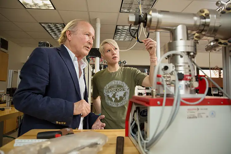
Geographic Information Systems Overview
Learn to make maps that matter by gaining hands-on experience with state-of-the-art geospatial technologies by obtaining Lamar University's Geographic Information Systems Certificate. This graduate program offers an integral aspect for supporting decision making in a variety of fields, such as physical and environmental sciences, urban planning and management, political science, civil engineering, economy/business, education administration, real estate, public health and healthcare.
The goal of this 15-hour program is to ensure that you become sufficiently grounded in the concepts behind GIS, including organization, management and visualization of geospatial data. You will have the opportunity to gain valuable GIS knowledge and skills that can be applied to careers in both academia and industry. GIS certificates will provide LU students and professionals additional future career opportunities. There's also a GIS certificate available to undergraduate students.
Geographic Information Systems Courses You May Take
Principles of GIS: This course will provide graduate students with an applied knowledge in making professional GIS maps, cartography methods, types of geospatial data, choosing and applying analytical methods for geospatial data including density analysis, interpolation and overlay analysis. Each graduate student will be assigned a research project. You will choose a research topic for your project. You will work on designing your project, data collection, data processing and analysis. You must write a scientific report of your project and present the results to the class.
Advanced GIS Analysis and Applications: This course is designed to advance students' knowledge in the rapidly developing field of Geographical Information Science and Systems (GIS). This course is built on the techniques learned in the Fundamentals of GIS (GEOL 5311) course by exposing the student to more advanced methods in developing and utilizing GIS data. Students will gain skills and knowledge of design, planning and error within GIS data management, analytical decision-making techniques and advanced spatial and statistical analysis, Python Script and Model Builder, web mapping and collector, digital image processing and analysis in ArcGIS, and working with LiDAR datasets. Students will gain deep understanding of the potential value of GIS through lectures, exercises of the latest versions of ArcGIS software and research projects in a broad range of applications.
Principles of Remote Sensing: This course will introduce fundamental concepts and develop basic skills related to the use of remote sensing data. The primary goal of the course is to introduce students to the principles of remote sensing, physics of remote sensing, spaceborne satellite systems and remote sensing data types including multispectral, hyperspectral and RADAR. Hands-on exercises will be provided to teach students how to obtain and process satellite imagery, analyze and synthesize information from remotely sensed data. Students will also be able to communicate findings. In addition, students will be assigned a research project for mastering digital image processing techniques for environmental applications. Each student will be required to give a 15 minute oral presentation on their research project and submit a final project report.
Special Topic Env Geo: Summer, in service, or other institutes for earth science teachers. Credit varies with duration. The description of the area of study of each institute will appear on the printed schedule. May be repeated for credit when nature of institute differs sufficiently from those taken previously.
Advanced GPS methods and Applications: This course is designed for graduate students to demonstrate a clear understanding of the GPS signal, codes and biases, describe the differences between relative and autonomous GPS positioning, code phase carries phase, DGPS and RTK. Students will learn the practical applications of GPS and the implications of its modernization. Lectures on GPS fundamentals will be augmented with hands-on training using GPS equipment. Students will use GPA equipment to perform survey and mapping. final project is required.
Career Paths for Geographic Information Systems
The geospatial market is growing at an annual rate of nearly 35%, with commercial ventures increasing at a rate of 100% each year. You will be able to work in high-demand fields such as environmental science, urban planning, natural resources, public health, logistics and engineering.
Primary Careers
Geospatial analyst, GIS analyst, GIS data manager, GIS developer, GIS specialist, GIS technician
- Lab specialties
- Research
- Education
- Analysis and consulting
- Schools and universities
- Laboratories
- Government agencies
- Non-profit research groups
- Environmental companies